

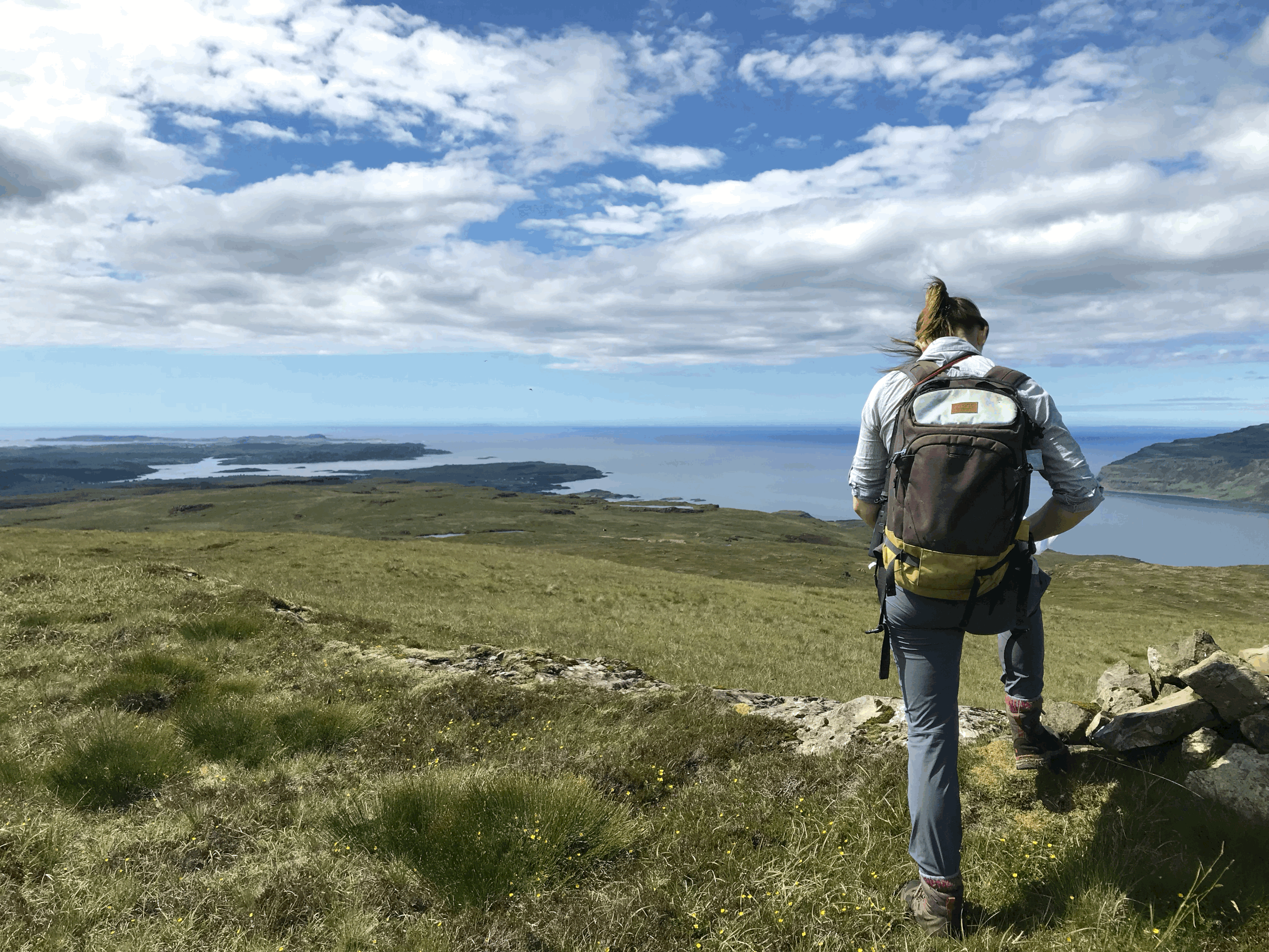
South West based ecological expertise for sustainable development and nature conservation
Explore what we offer
We provide comprehensive habitat mapping services, from detailed field surveys using digital mapping programmes and the latest mapping packages such as Qfield, through to full ecological reports. Our team combines field expertise with advanced GIS analysis to deliver accurate outputs that inform conservation, design and environmental management.
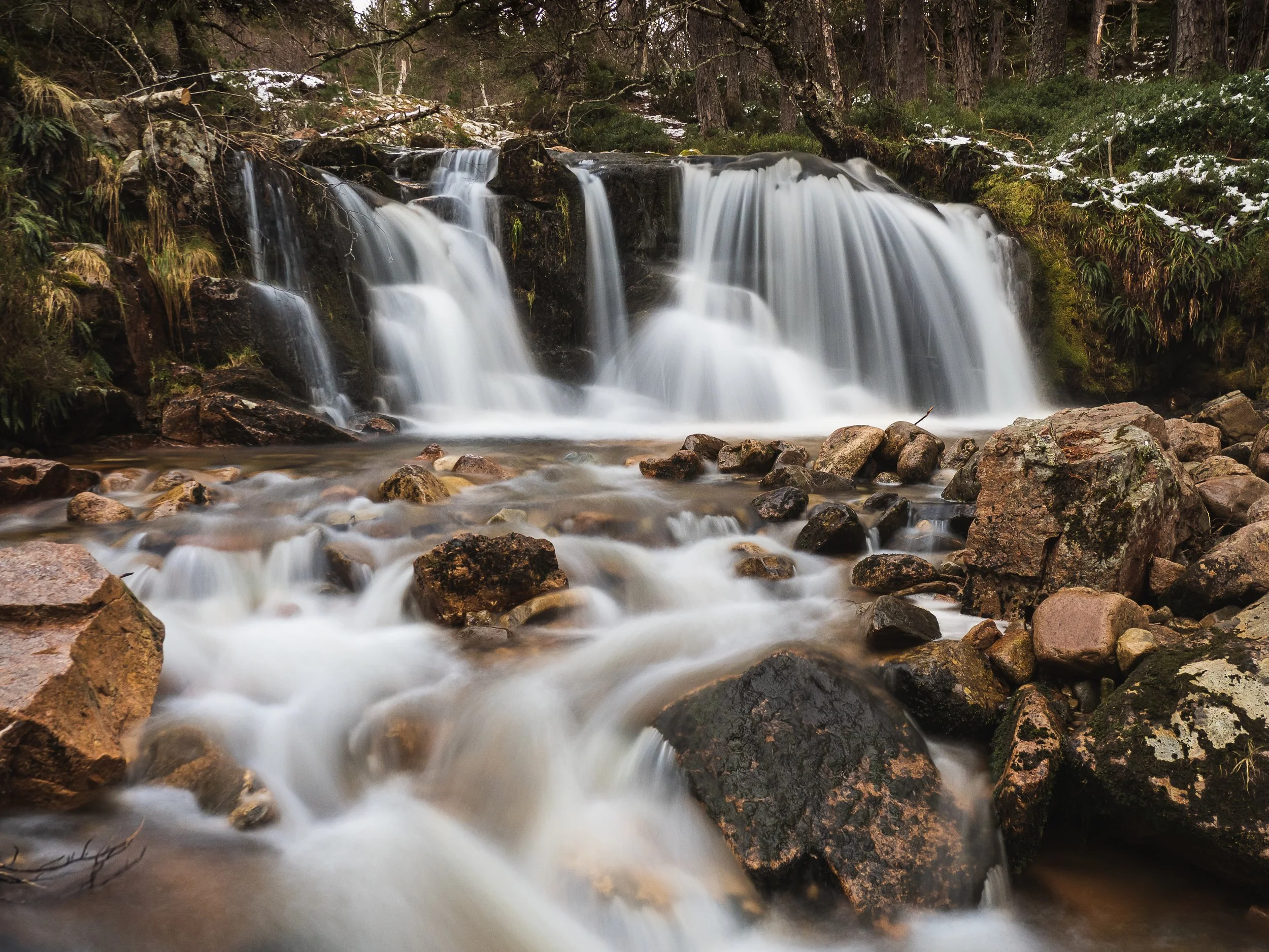
We provide comprehensive river survey and condition assessment services to support ecological assessment services to support ecological monitoring, restoration design, and planning compliance.
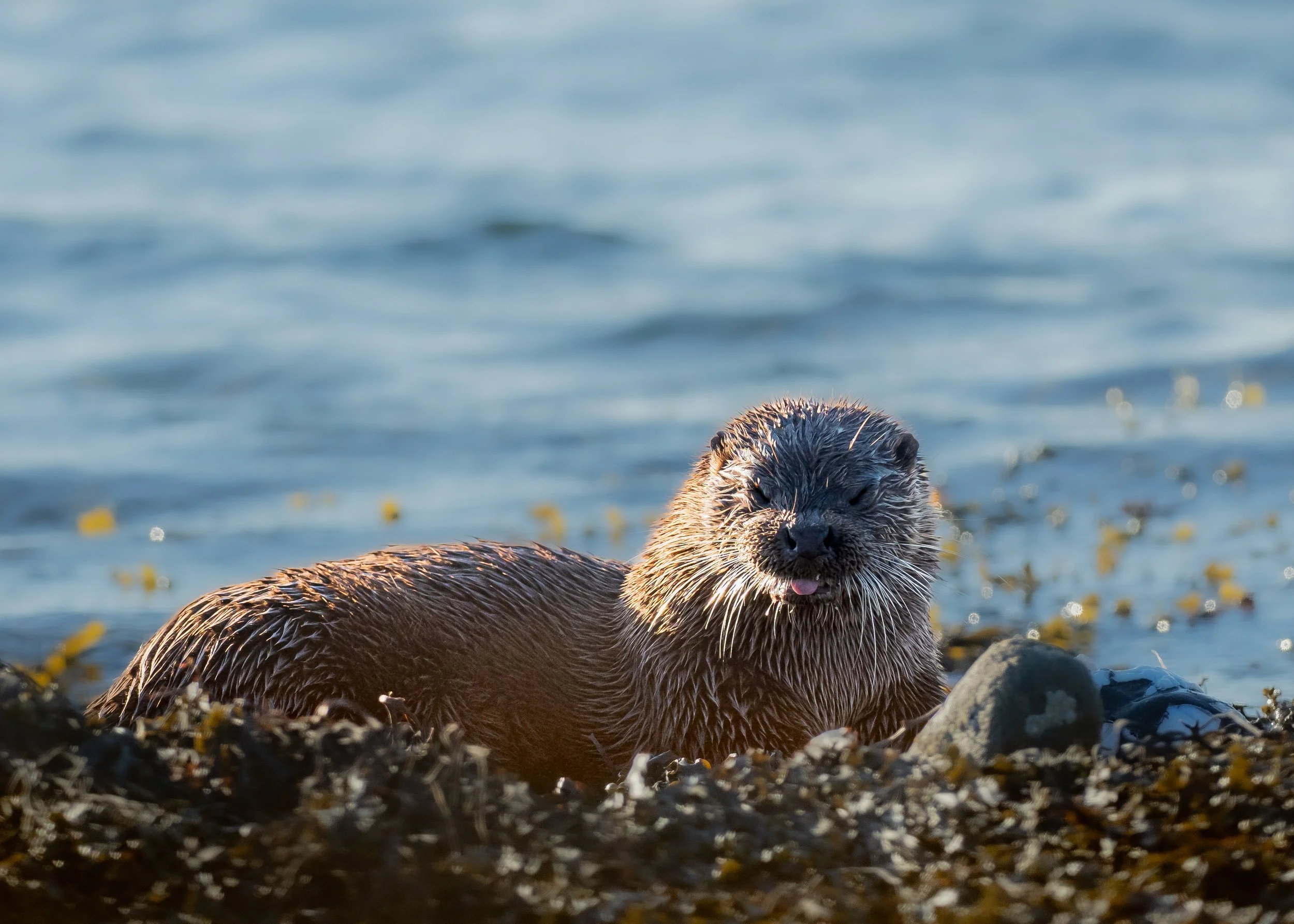
We provide a range of protected species and wildlife surveys across the South West, combing field expertise with robust and standard methodologies. With over a decade of experience surveying in upland, lowland and riverine environments, we deliver reliable data and practical recommendations to inform planning, conservation, and biodiversity enhancement projects.
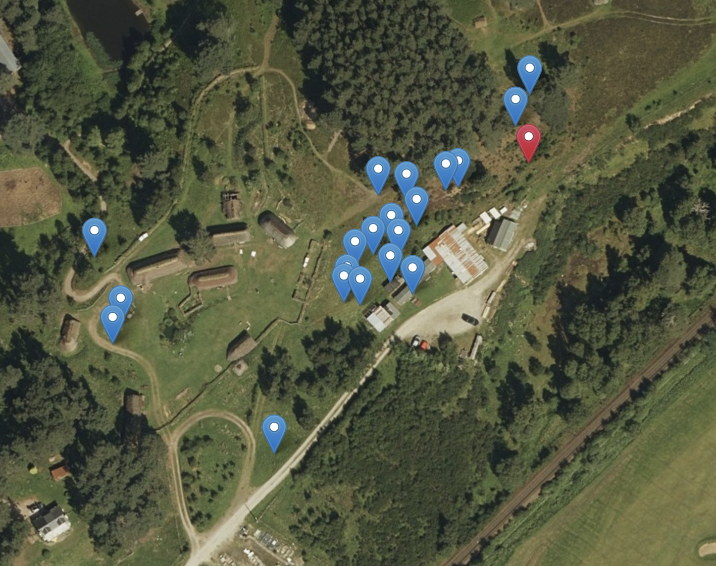
We provide clear, effective and concise reporting, professional GIS mapping, habitat and survey digitisation, as well as bespoke supporting documents to accompany planning, development and conservation projects across the South West.
Contact Us
Interested in working together? Fill out some info and we will be in touch shortly. We can’t wait to hear from you!